vrterrain

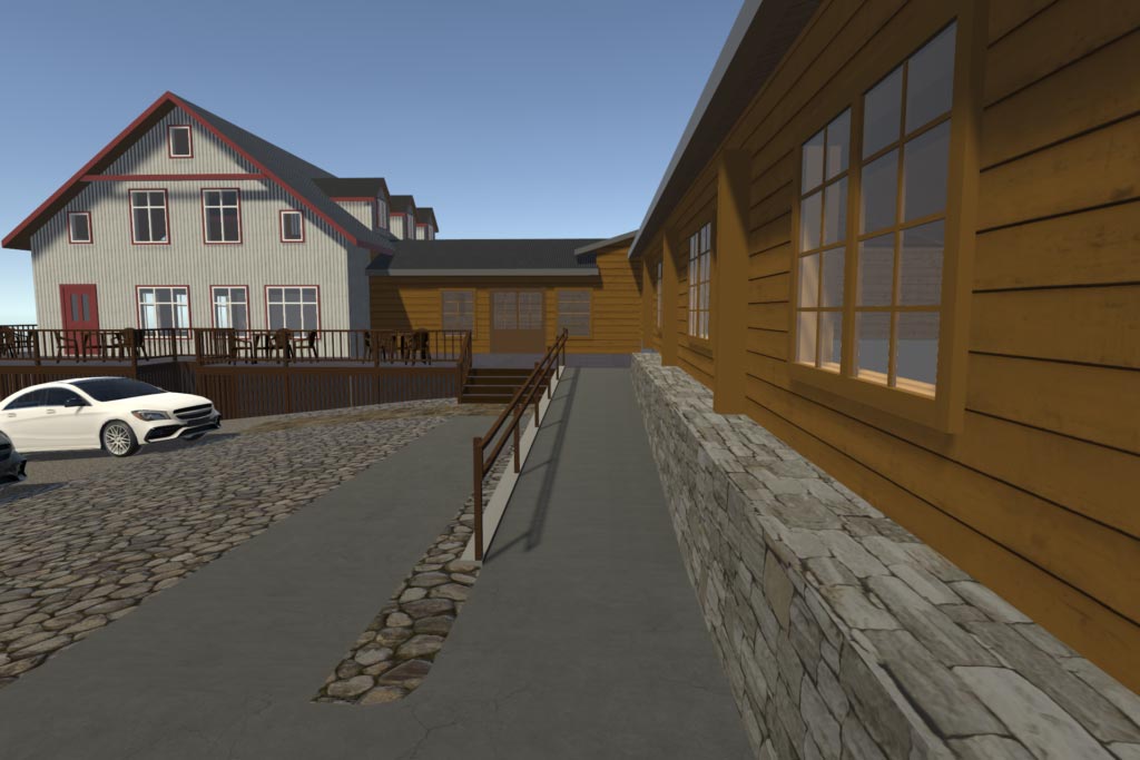
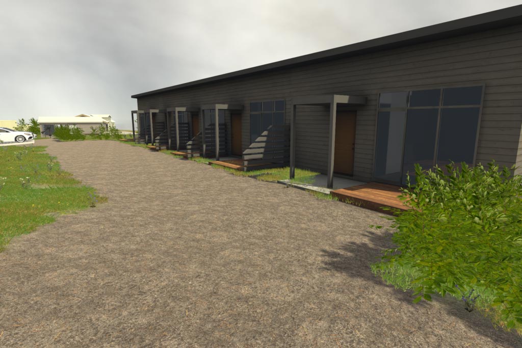
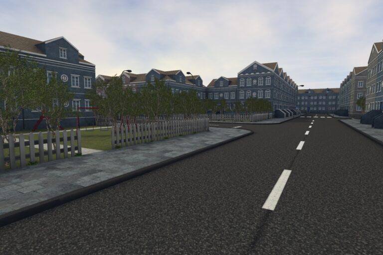
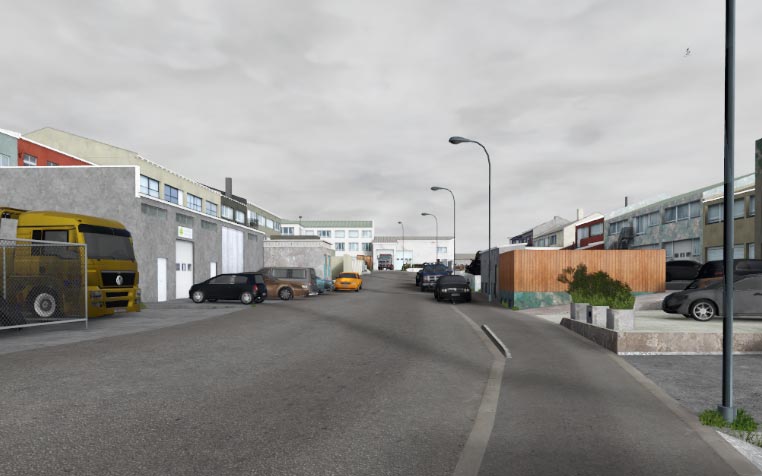
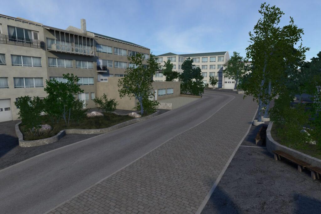
Leverage our first-person, highly-detailed, realistic 3D virtual environments and architectural VR walk-through technology.

What is VRTERRAIN?

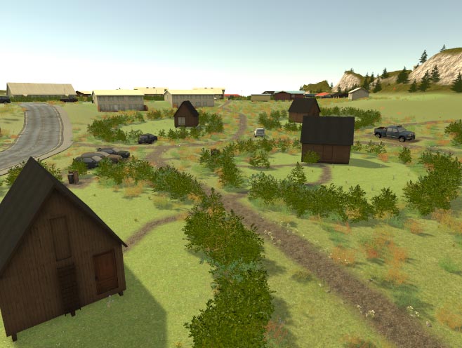
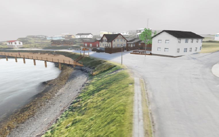
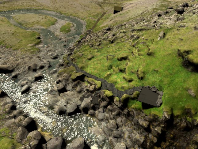
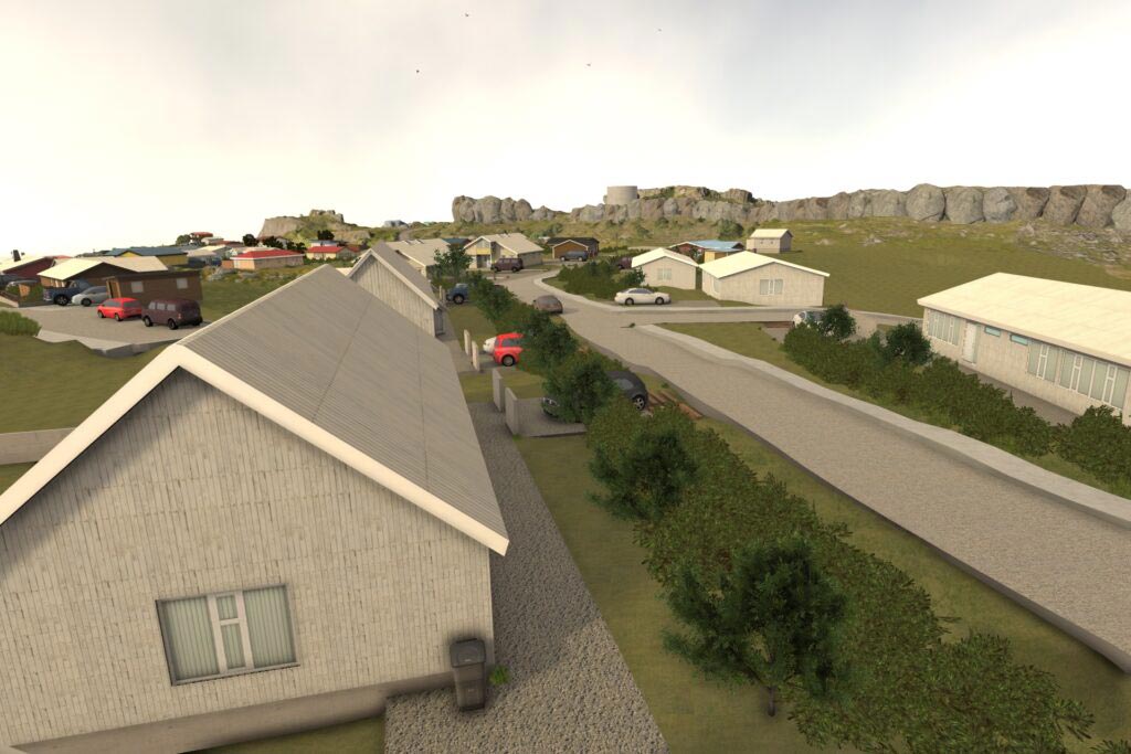
VRTerrain enables architects and designers to automatically model dynamic 3D environments from organizational and geographical data, enabling stakeholders to more quickly move to project approval and construction.

realistic

VRTerrain features a robust design, terrain and weather asset library complete with panorama landscapes, tides and coasts, slopes, mountains and active vegetation.

compatible

Compatible with the most popular softwares and design tools used by architectural, planning, engineering and contractor firms, this plug & play approach expedites the research and decision-making processes

FEATURES

  • Compare architectural designs and planning alternatives.
  • ​​Get complete control over environmental attributes, including time of day.
  • Create and experience highly-detailed first person views.
  • Deliver realistic natural environments, including flora, fauna, mountains, slopes and shorelines.
  • Explore and leverage the extensive library of environments and projects.

Data in. 3D out.

  • Automate creation of precise, natural looking 3D environments. 
  • Import DEM (digital elevation model) data for accurate landscape generation.
  • Import designs directly from SketchUp and AutoCAD.
  • Get granular vegetation and ground cover detail with smart automation.

Multi-platform support

Supported on desktop, mobile and VR-enabled devices

  • View on a webpage using static images, panoramas or videos. 
  • Use as a fully interactive 3D application.
  • Get the full VR experience using devices like HTC Vive and Oculus Quest.
  • Prompt feedback, sentiment and sensory input from stakeholders with VRPsychLab integration.

previews

This website uses cookies to improve your experience. By continuing, you agree to our cookie policy